Iran Uses First Military Satellite to Map, Publish U.S. Base in Qatar
Iran Uses First Military Satellite to Map, Publish U.S. Base in Qatar, Iran claims to have used its first military satellite—the launch of which was condemned by President Donald Trump's administration—to publish detailed images of a U.S. air base in Qatar, according to state media.
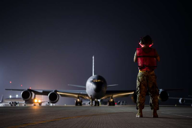
The state-backed Press TV channel reported Wednesday that Iran's Nour-1 satellite—operated by the country's Islamic Revolutionary Guards Corps (IRCG)—took photos of the Al Udeid air base in Qatar, which hosts the forward headquarters of U.S. Central Command and the headquarters of U.S. Air Forces Central Command.
Press TV said the images covered the "full expanse" of the base, which it said hosts some 13,000 "terrorist" troops. Tehran has classified all U.S. forces as terrorists in retaliation for the Trump administration designating the IRGC a terrorist organization last year.
Newsweek has contacted the State Department and the Pentagon to request comment on the satellite photos.
Nour-1 was launched in April, prompting protests from Secretary of State Mike Pompeo, who said the satellite is part of Tehran's ballistic missile program, long a source of frustration for the Trump administration.
After the Nour-1 launch, Pompeo said Iran's claims of pursuing a peaceful civilian space program was "fiction." The IRGC launch, he said, "makes clear what we have said all along: Iran's space program is neither peaceful nor entirely civilian."
"This satellite launch vehicle and others launched before it incorporate technologies identical to, and interchangeable with, ballistic missiles, including longer-range systems such as intercontinental ballistic missiles," Pompeo said. "No country has ever pursued an ICBM capability except for the purpose of delivering nuclear weapons."
The IRGC said the Al Udeid images were taken while Nour-1 was being used to monitor large-scale military exercises in the strategic Strait of Hormuz this week. The drills wrapped up Wednesday, and included an attack on a replica U.S. aircraft carrier in the waterway, through which some 30 percent of the world's oil must transit.
Ballistic missile launches as part of the drills prompted a high alert for American forces at Al Udeid and the Al Dhafra base in the United Arab Emirates. Service members were ordered to bunkers temporarily during the exercises.
Commander Rebecca Rebarich, a spokesperson for the U.S. Navy's 5th Fleet based in Bahrain, told Newsweek in an emailed statement that American forces were "always watchful of this type of irresponsible and reckless behavior by Iran in the vicinity of busy international waterways."
"This exercise has not disrupted coalition operations in the area nor had any impacts to the free flow of commerce in the Strait of Hormuz and surrounding waters," she said.
Iran Uses First Military Satellite to Map, Publish U.S. Base in Qatar, Iran claims to have used its first military satellite—the launch of which was condemned by President Donald Trump's administration—to publish detailed images of a U.S. air base in Qatar, according to state media.
The state-backed Press TV channel reported Wednesday that Iran's Nour-1 satellite—operated by the country's Islamic Revolutionary Guards Corps (IRCG)—took photos of the Al Udeid air base in Qatar, which hosts the forward headquarters of U.S. Central Command and the headquarters of U.S. Air Forces Central Command.
Press TV said the images covered the "full expanse" of the base, which it said hosts some 13,000 "terrorist" troops. Tehran has classified all U.S. forces as terrorists in retaliation for the Trump administration designating the IRGC a terrorist organization last year.
 |
| Iran Uses First Military Satellite to Map, Publish U.S. Base in Qatar |
Nour-1 was launched in April, prompting protests from Secretary of State Mike Pompeo, who said the satellite is part of Tehran's ballistic missile program, long a source of frustration for the Trump administration.
After the Nour-1 launch, Pompeo said Iran's claims of pursuing a peaceful civilian space program was "fiction." The IRGC launch, he said, "makes clear what we have said all along: Iran's space program is neither peaceful nor entirely civilian."
"This satellite launch vehicle and others launched before it incorporate technologies identical to, and interchangeable with, ballistic missiles, including longer-range systems such as intercontinental ballistic missiles," Pompeo said. "No country has ever pursued an ICBM capability except for the purpose of delivering nuclear weapons."
The IRGC said the Al Udeid images were taken while Nour-1 was being used to monitor large-scale military exercises in the strategic Strait of Hormuz this week. The drills wrapped up Wednesday, and included an attack on a replica U.S. aircraft carrier in the waterway, through which some 30 percent of the world's oil must transit.
Ballistic missile launches as part of the drills prompted a high alert for American forces at Al Udeid and the Al Dhafra base in the United Arab Emirates. Service members were ordered to bunkers temporarily during the exercises.
Commander Rebecca Rebarich, a spokesperson for the U.S. Navy's 5th Fleet based in Bahrain, told Newsweek in an emailed statement that American forces were "always watchful of this type of irresponsible and reckless behavior by Iran in the vicinity of busy international waterways."
"This exercise has not disrupted coalition operations in the area nor had any impacts to the free flow of commerce in the Strait of Hormuz and surrounding waters," she said.
0 comments:
Post a Comment
If You have Any Doubts, Let Me Know